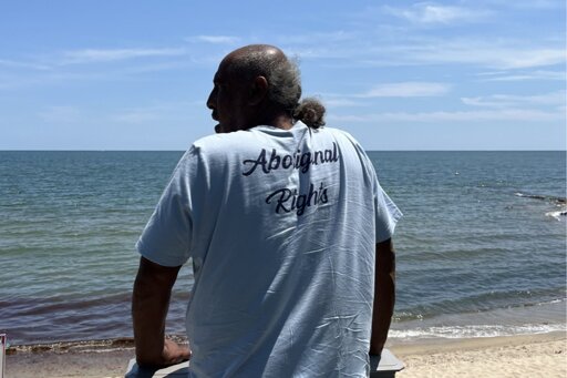
Pocknett was at the beach to identify Indigenous water access points, paths used for generations to reach fishing grounds from shores that are now mostly privatized by non-Wampanoags. Public access points along Massachusetts waters have thinned since the mid-20th century, but their disappearance has been especially pronounced here, in and around the town of Mashpee and the Popponessett Bay, in what was once Wampanoag territory.
Meanwhile, overdevelopment has destroyed abundant wetland areas that shaped Wampanoag life for thousands of years, and water pollution threatens many aquatic species essential to the tribe’s survival. A lifelong aquaculturist and fisherman, Pocknett has recently begun work to restore access to traditional fishing grounds and the ecosystem that supports them. a serene, small beach in a bay on a sunny day. sunbathers can be see in the background
With help from the tribe’s Natural Resources Department, the town of Mashpee is compiling a harbor management plan, an extensive document that will set guidelines for the construction of marinas and docks. The plan will also address encroaching erosion and sea-level rise throughout this Massachusetts municipality. As part of the project, the town has invited Pocknett and a group of tribal elders to identify Indigenous pathways to the water, with the goal of eventually opening some of them back up for public use. It is a modest effort, a starting point to repair fraught relations, reconcile with the past, and strategize for the future. If the plan succeeds, it will help rebuild wetlands and traditional food sources for the tribe, once largely excluded from environmental decision-making.


